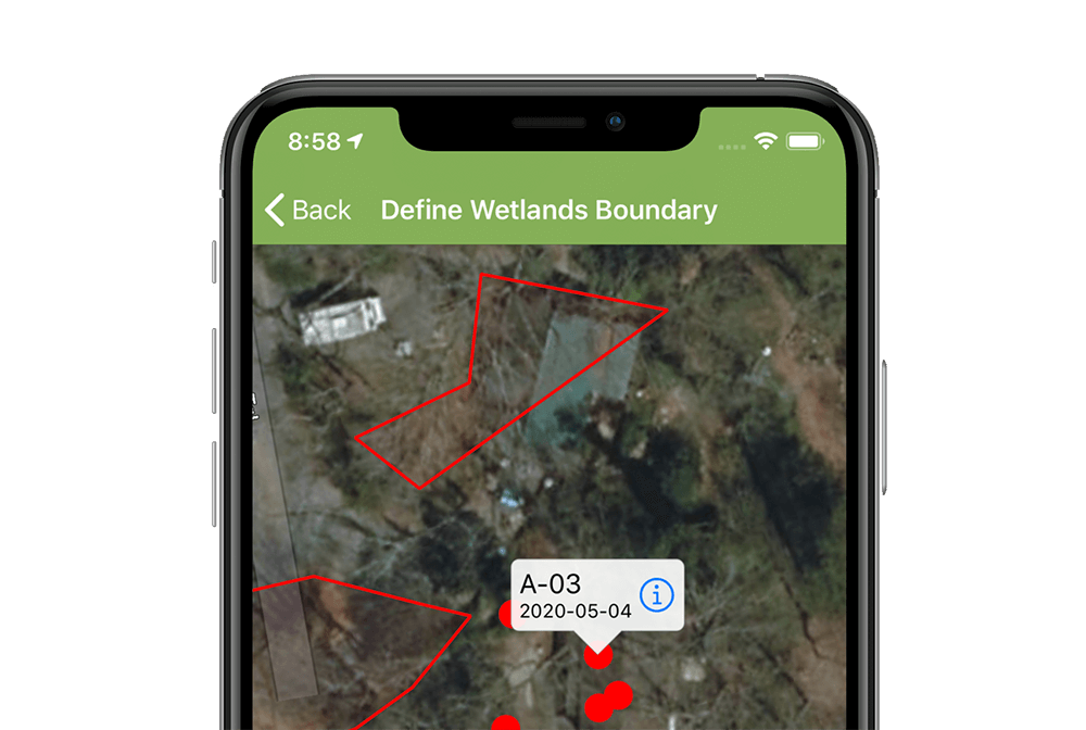
You can now map and name multiple wetland polygons on the fly, and use the built-in map to navigate between sampling points. Instantly generate Esri ArcGIS-ready points and polygons. With no manual effort, map features collected in the field can now be dropped directly into ArcGIS Pro or into other GIS software that can import Esri shapefile formats.
One year ago, Ecobot was excited to announce our partnership with Esri. Our combined efforts are now baring fruit with enhanced offline mapping functions and ArcGIS integrations available within Ecobot's version 2 release this week.